Oregon Phase II
MS4 compliance software for Oregon Phase II permittees.
NPDESTracker is browser-based MS4 software aligned to the six Minimum Control Measures that Oregon DEQ uses for the Phase II MS4 General Permit. Annual reports that roll up from records, mobile inspections for the field, and a GIS-aware workspace that fits alongside your existing ArcGIS or QGIS deployment.
Sample workspace. Browse-only. No signup.
01 · Aligned to the permit framework
Built around the six Minimum Control Measures.
The product's data structures and workflows align to the six MCMs that Oregon DEQ uses for the Phase II MS4 General Permit. Each module maps to a Minimum Control Measure, and the annual report template reflects the kind of program-year summary Oregon DEQ expects from Phase II permittees.
Public Education and Outreach
Documented education events, audiences reached, and materials distributed across the reporting year.
Public Involvement and Participation
Public meetings, comment periods, and volunteer programs with attendance and minutes.
Illicit Discharge Detection and Elimination
Complaint intake, dry-weather screening, source tracing, and enforcement on a single thread per outfall.
Construction Site Runoff Control
Active-disturbance inspections, deficiency follow-up, and enforcement records aligned to your construction inspection cadence.
Post-Construction Stormwater Management
Live BMP inventory, annual inspections, and maintenance records for structural BMPs.
Pollution Prevention and Good Housekeeping
Municipal facility inspections, spill response, fleet operations, and staff training tied to MS4 obligations.
02 · Annual reporting
Reporting that holds up under DEQ review.
Every number in your annual MS4 report links back to its underlying record. Counts come from inspections, IDDE incidents, BMP records, and enforcement actions logged through the year, not from free-text fields you reconcile in a spreadsheet at the end of the reporting period.
Manual overrides leave a one-line audit-log entry: user, timestamp, original value, new value, reason. When DEQ reviewers ask "what changed and why," the answer is on screen.
See how reporting works, or read the guide to making an MS4 program audit-ready.
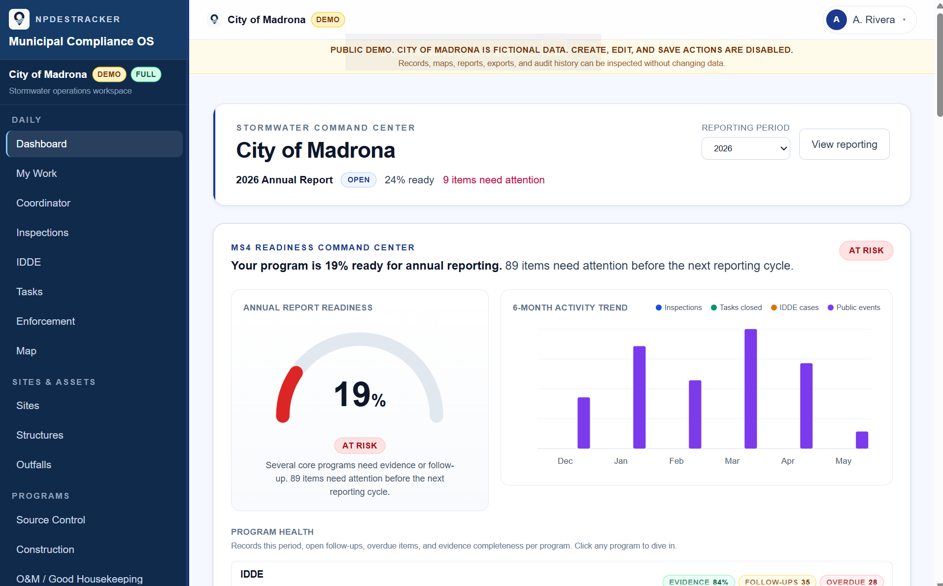
A look at the workspace
See how a sample MS4 workspace connects sites, inspections, tasks, contacts, enforcement drafts, GIS context, and reporting evidence.
03 · Inspections
Inspections that fit the field, not the office.
Mobile-first inspection workflow built for the inspector in the truck, on phone, tablet, or browser. Photo and GPS attached to each record. Site context one tap away. Cadence-aware so overdue and due-soon items are flagged before they become audit findings.
See how inspections work, or read about stormwater inspection cadence and audit defensibility.
04 · GIS-aware throughout
Designed to coexist with your existing ArcGIS or QGIS deployment.
Most Oregon Phase II permittees already maintain their authoritative spatial data in ArcGIS Online, ArcGIS Enterprise, or QGIS. NPDESTracker is built to live alongside that, not replace it. Sites, outfalls, BMPs, and incidents live on a map, color-coded by status, with the same coordinates your GIS team already maintains.
Imports standard GIS file formats (GeoJSON, shapefile). CSV exports cover supported operational records, with broader spatial-format export support available during onboarding and support requests. The full interop story is on the GIS workspace page.
05 · How this maps to Oregon programs
The Phase II framework runs the same in Oregon.
NPDESTracker gives municipal stormwater teams a connected workspace for inspections, sites, tasks, enforcement drafts, GIS context, and annual-report evidence. The data model is built around the six federal Minimum Control Measures — the same framework Oregon DEQ uses for the Phase II MS4 General Permit.
Oregon-specific permit terminology, TMDL references, dropdowns, and forms are configured during setup so the workspace reads the way DEQ-issued programs run. Records export as CSV and, where applicable, GeoJSON on every tier — useful when handing evidence to DEQ or to a consulting engineer.
Browser-based MS4 software — mobile web works today on phones and tablets; a native iOS field app for offline inspections is planned. Open the sample workspace first, then review pricing if your Oregon Phase II program looks like a fit.
06 · Pricing for Oregon cities
Procurement-friendly pricing.
Three clear paths, sized to fit municipal budgets and procurement processes:
-
Free interactive demo
Self-serve, browse-only, sample data. No signup or call required. Try the demo.
-
Guided 60-day Evaluation at $999 for 60 days
Procurement-card-friendly. Sized for a team testing one workflow before committing. Guided setup, email and ticket support, and a clean decision point at 60 days.
-
Full MS4 Platform starts around $18,000 a year
Inspection Starter is $3,499 a year. Inspection Team is $9,499 a year. Larger deployments and multi-department programs are custom-quoted around the actual program. Full pricing posture.
About the Guided 60-day Evaluation
The Guided 60-day Evaluation is at $999. It includes a guided kickoff call, an evaluation workspace configured to your permit, and direct email access through the evaluation. Convert to an annual plan at the end, or walk away with a clean export of what you logged.
Email admin@npdestracker.com with subject "Guided Evaluation Workspace inquiry" to get started.
Further reading
Practical guides for Phase II MS4 work.
- Blog Handling illicit discharges from complaint to closure: a working playbook for MS4 coordinators
- Blog Tracking post-construction BMPs without losing them: a working guide for MS4 programs
- Blog Stormwater inspection cadence: monthly, quarterly, annual, and why it matters for your audit
- Blog How to make an MS4 program audit-ready (without rewriting your spreadsheets)
- Permit Idaho Phase II MS4 software, framed for IPDES permittees
- Permit Colorado Phase II MS4 software, framed for CDPHE permittees
- Permit All permit pages currently covered
- Guide Understanding MS4 compliance: a plain-language overview
Built for Oregon Phase II programs.
Open the sample workspace to see how the six MCMs, reporting, and GIS fit together. Pricing is on the next click.